Elliott Bridge Reach Off-Channel Wetland & Floodplain Reconnection Project
Project description
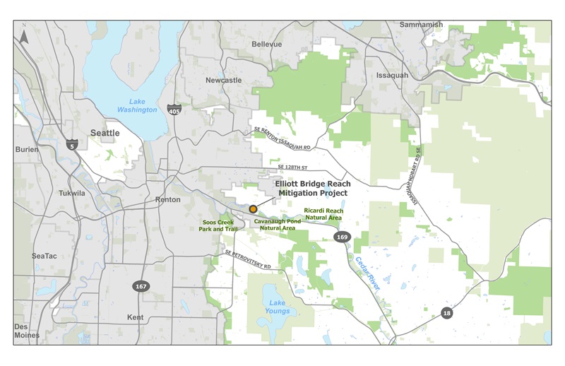
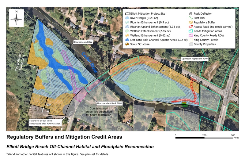
The Elliott Bridge Reach Off-Channel Habitat and Floodplain Reconnection Project (“Elliott Bridge Reach Mitigation Project”) is located on 16 acres of county-owned land, composed of 19 parcels along the Cedar River between State Route 169 and SE Jones Place, near 154th Place SE. This project restored approximately 11.5 acres of an active floodplain, adding flood storage capacity and improving salmon habitat to provide wetland and aquatic habitat mitigation for unavoidable wetland impacts. The restoration actions also reduced downstream flood risk and improved wetland and aquatic habitat in a reach of the river which currently lacks habitat diversity. The majority of mitigation credit generated by the Elliott Bridge Reach Mitigation Project offset a portion of WSDOT’s SR 520, I-5 to Medina: Bridge Replacement and HOV project.
Vicinity map
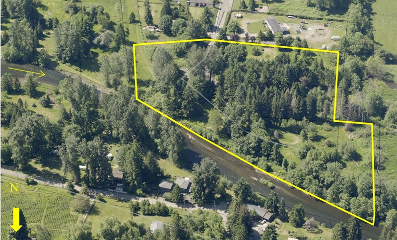
Pre-construction aerial
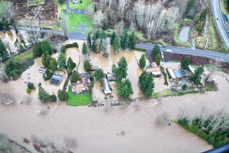
Flooding at Elliott Bridge Reach Mitigation Project Right Bank Mitigation Area (2009)
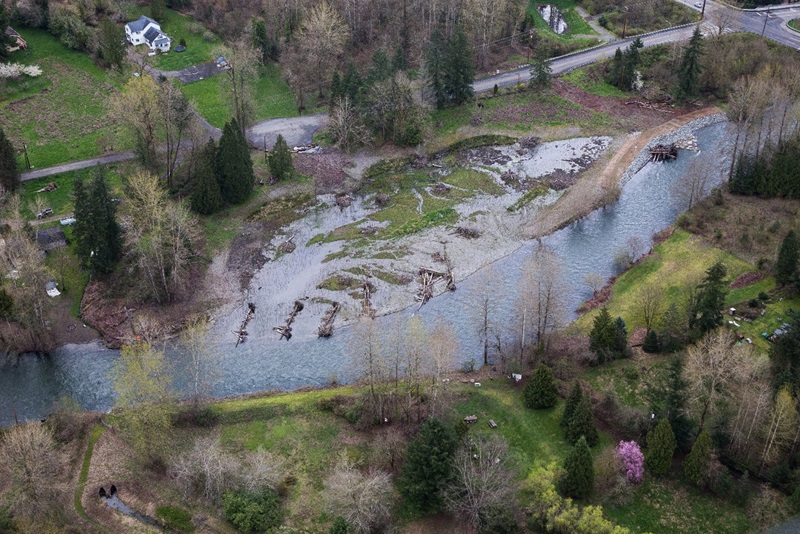
Elliott Bridge Reach Mitigation Project: Right Bank Mitigation Area (2013)
Elliott Bridge Reach Mitigation Project: Left Bank Mitigation Area (2013)
Background
The Cedar River has been altered by dam operations, levees, and revetments that confine the river to a single channel and other land use activities that have degraded wetland and floodplain habitat. These changes have resulted in reduced quantity and quality of habitat for fish and wildlife. This project is intended to restore wetland habitat in the Cedar River floodplain while encouraging natural processes that will change the site over time. The Elliott Bridge Reach Mitigation Project will also provide mitigation credits for King County’s Mitigation Reserves Program.
This project reach was identified as a high priority area for habitat restoration in the WRIA 8 Chinook Salmon Conservation Plan. Several projects have been implemented in this reach to restore river and floodplain functions. The Elliott Bridge Reach Mitigation Project was designed to be compatible with future reach-wide flood hazard reduction and habitat goals.
Project Design
The project removed historic fill to restore active floodplain, constructed a side channel to provide refuge for migrating fish during high flows, and constructed a scour structure to create and sustain pool habitat suitable for an adult salmonid holding area.
- Wetland restoration:
- Removed historic fill and modified existing levees to restore approximately four acres to the active floodplain, while maintaining flood protection for downstream roads and residential properties.
- Excavated, graded, and contoured the project to establish a surface elevation consistent with wetland hydrology.
- Planted native wetland and upland plant species and continued treatment of invasive plants.
- Aquatic restoration:
- Constructed a side channel to provide refuge for migrating fish during high flows along this reach of the Cedar River.
- Main stem pool formation:
- Created sustainable pool habitat while protecting recreational safety and passage through the reach.
Specific project features include 2.65 acres of wetland establishment, 1.02 acres of off-channel aquatic area, 1.15 acres of upland enhancement, and multiple habitat structures such as snags, wood piles, and logs.
90% Design Plan View
Project schedule
|
Elliott Bridge Reach Mitigation Project schedule overview |
|
|---|---|
|
Alternatives analysis |
2013 |
|
90% design plans |
February 2015 |
|
Implementation |
2016-2017 |
|
Monitoring |
2017-2025 |
 Translate
