McElhoe Pearson Mitigation Project
Project description
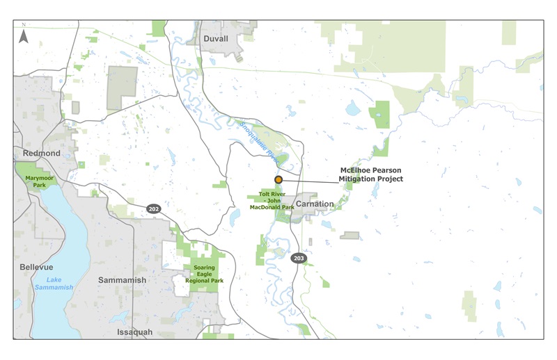
The McElhoe Pearson Mitigation Project (Mitigation Project), completed in 2012, is located within the larger McElhoe Pearson Off-Channel Wetland & Floodplain Reconnection Project. It is on the main stem of the Snoqualmie River, north of the City of Carnation, in the Snoqualmie River Service Area. The Mitigation Project created additional rearing and refuge habitat for salmonid species in the Snoqualmie River and provided needed flood storage capacity. This project also restored a surface water connection between the Snoqualmie River and a portion of the historic floodplain that had been isolated for over 50 years. With the reconnection, this high-quality wetland is now accessible to juvenile salmonids.
Vicinity map
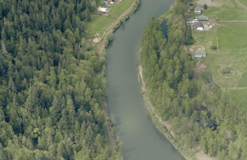
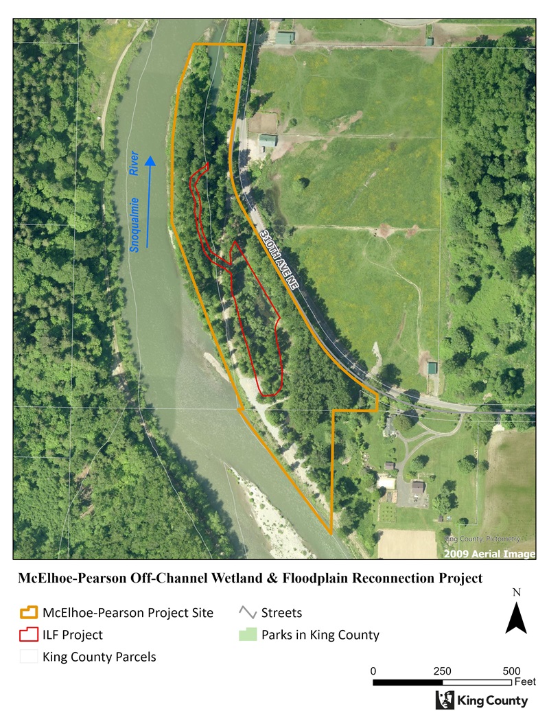
Pre-construction aerial
Pre-construction aerial imagery of McEclhoe Pearson Mitigation Project (2009)
Background
The McElhoe Pearson Levee sits in the highest priority reach of the mainstem Snoqualmie River. This reach of the Snoqualmie is a high use area for Chinook salmon with high concentrations of spawning Chinook as well as steelhead trout. As such, it is an important location for improving habitat conditions for rearing and out-migrating salmon and trout. Channel and edge conditions in this reach did not meet the targets for Chinook recovery. Habitat degradation in this reach was caused by levees and revetments which simplify the channel morphology, limit interaction with the floodplain, and alter the channel edge conditions and riparian interactions. Removing portions of the McElhoe Pearson Levee targeted these limiting habitat conditions in the highest priority reach along the Snoqualmie River
The McElhoe Pearson Mitigation Project was specifically constructed to offset impacts associated with WSDOT’s Tokul Creek Emergency Project, which included 15,580 square feet of permanent stream impacts, 10,986 square feet of permanent riparian impacts, and the removal of large wood.
Project design
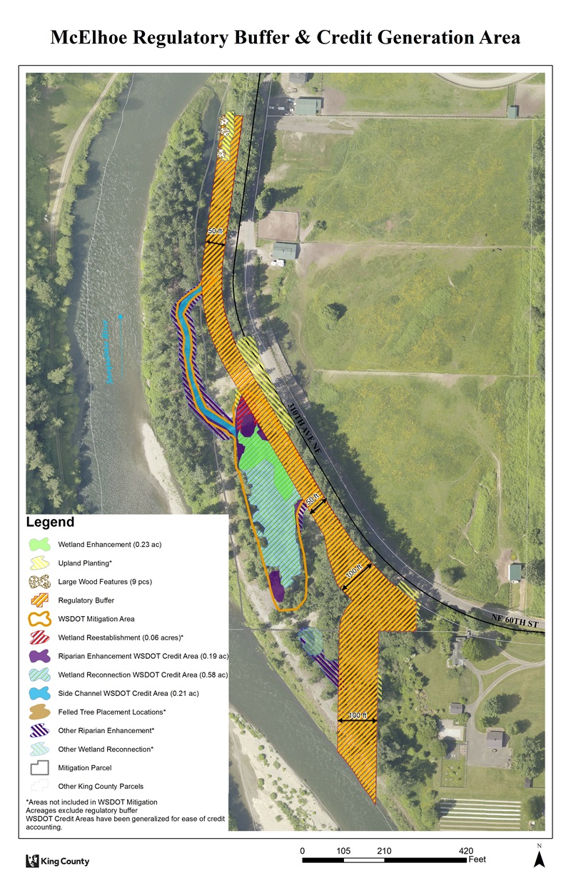
Approximately 500 linear feet of channel was restored to connect approximately two acres of high-quality wetland to the main stem Snoqualmie River. The McElhoe Pearson Mitigation Project also included enhancement of the existing wetland, riparian planting, and installation of large wood.
100% Design Plan View
Project schedule
|
McElhoe Pearson Mitigation Project schedule overview |
|
|---|---|
|
Implementation |
2012 |
|
Monitoring |
2013-2022 |
 Translate


