
 Translate
Lower Miller River Floodplain Restoration Project
Project overview
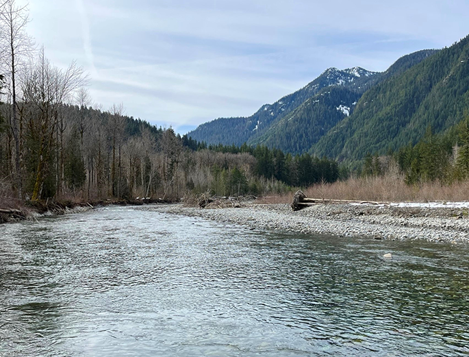
This project will implement river restoration actions in the lower mile of the Miller River near Skykomish, WA to restore lost habitat for salmon and trout listed on the Endangered Species Act, remove defunct County infrastructure, and protect critical railway infrastructure. The project is currently under design with primary construction anticipated in 2028 (some site preparation activities may begin as early as 2027).
Project actions include the following:
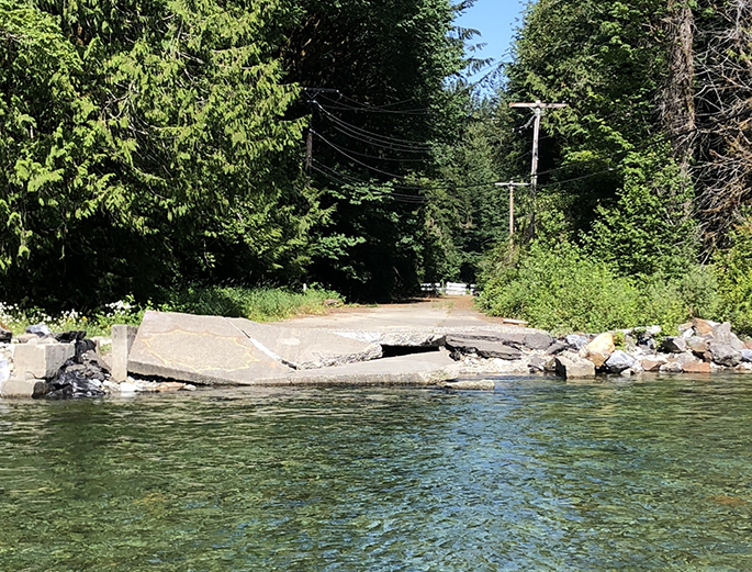
- Remove approximately 1,000 feet of the closed portion of NE Old Cascade Highway west of the washout.
- Remove 500 feet of the Miller River Curve Levee.
- Excavate three side channel inlets to connect floodplain habitat.
- Install approximately 50 large wood structures in the Miller River channel and floodplain to increase habitat diversity.
- Construct a modern flood protection structure along the western approach of the Burlington Northern Santa Fe Railway (BNSF).
- Plant native riparian trees and shrubs throughout the floodplain.
Feedback
Please visit our engagement hub site to learn more about the project and to share feedback through September 25, 2026.
Background
The lower mile of the Miller River is a highly dynamic and ecologically rich setting, but it has been significantly harmed by past human actions such as logging and flood control. This project presents a rare opportunity to restore up to 120 acres of floodplain in the upper watershed, which is important to maintain summer low flow further downstream, reduce water temperature, trap large wood and sediment, and increase the amount of habitat for young salmon. These functional riparian habitats will become increasingly important given the expected impacts of climate change.
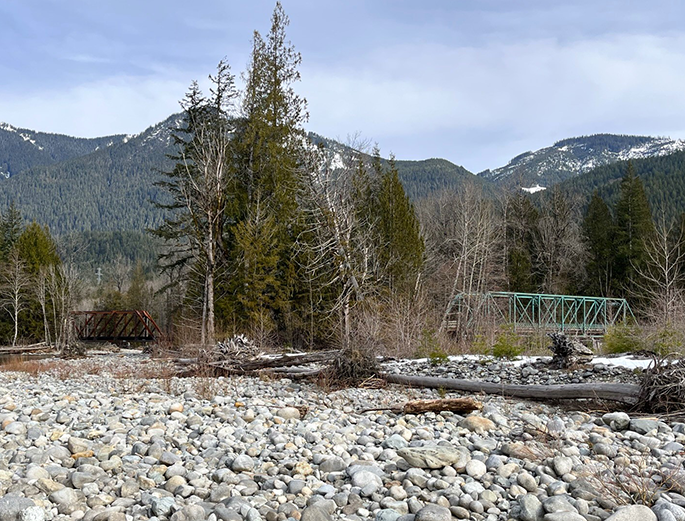
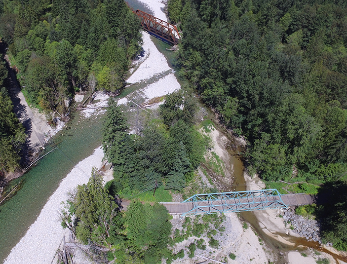
Since the 2011 washout of NE Old Cascade Highway, the Miller River has been migrating toward the vulnerable western abutment of the BNSF railway bridge. This project will partner with BNSF to construct new flood protection measures along the railroad to protect it from future river hazards as the railway has been identified as an important potential evacuation route for the Skykomish area. This project will also remove the closed King County roadway that continues to fall into and pollute the river at the washout location. King County is also coordinating with utility owners to relocate power and communication lines out of harm’s way.

Over the past 100 years, numerous public investments have been made (9.2 MB PDF) in the construction and frequent repair of bridge, roadway, and flood protection infrastructure at this site. Yet the efforts to control the river were ultimately unsuccessful and Old Cascade Highway washed out for the final time in 2011. Due to the prohibitive cost of a replacement bridge across this dynamic and hazardous alluvial fan setting, King County permanently closed this portion of Old Cascade Highway. Removal of remnant infrastructure would reduce flood risks and long-term maintenance costs and would immediately connect critical off-channel habitat for fish. Modern flood protection infrastructure will be constructed as needed to avoid any significant increase in flood-related risks to private property or infrastructure, such as to the BNSF railroad line.
Project Updates
Updates and meeting announcements are shared on this website and through our GovDelivery email list. Sign up to stay informed.
Project documents
- History of Old Cascade Highway at Miller River - (9.2 MB PDF)
- Large Wood Safety Checklist - (Instream Project Design Checklist - 778 KB PDF)
Project funding
Design work has been funded by the following sources:
- Washington State Recreation and Conservation Office (Puget Sound Acquisition and Restoration Fund)
- King County Flood Control District (King County Cooperative Watershed Management Grant)
- King County (Parks Open Space River Corridor Grant and Surface Water Management Fee)