Translate
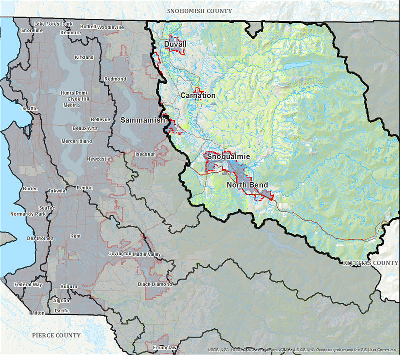
Snoqualmie River Service Area
About
The Snoqualmie River Service Area comprises roughly 667 square miles. Land uses in this service area are predominately forestry, agriculture, and rural residential, with some urban residential and commercial land uses, especially near the cities of Duvall, Carnation, North Bend, and Snoqualmie, as well as the unincorporated areas around Fall City and Preston. Permittees with impacts to wetlands, streams, and buffers may be able to use the King County In-Lieu Fee Program to offset unavoidable impacts within the Snoqualmie River watershed.