Issaquah Creek Mitigation Project

Project description
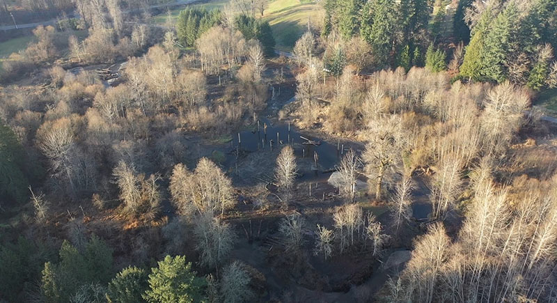
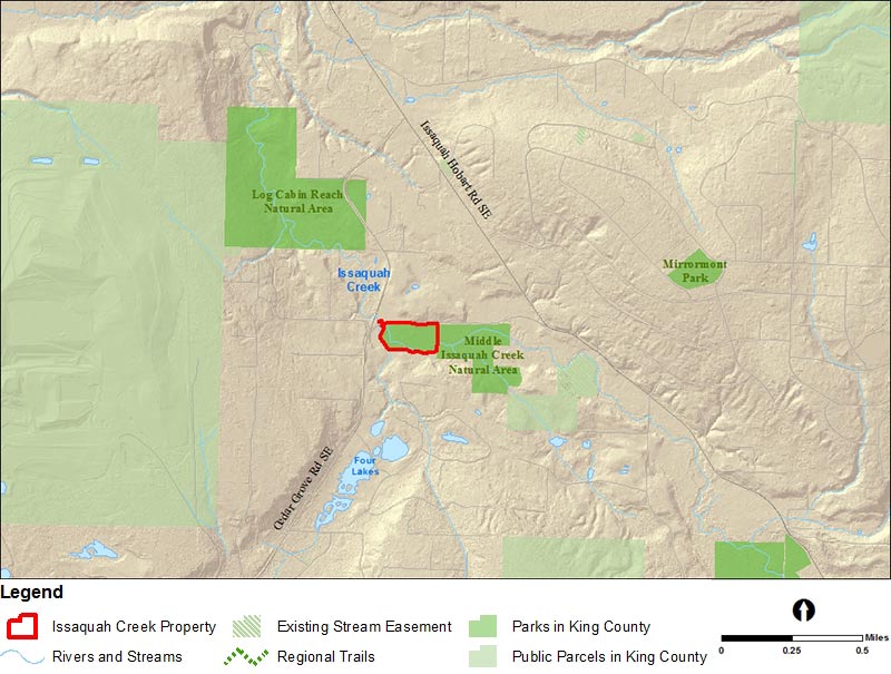
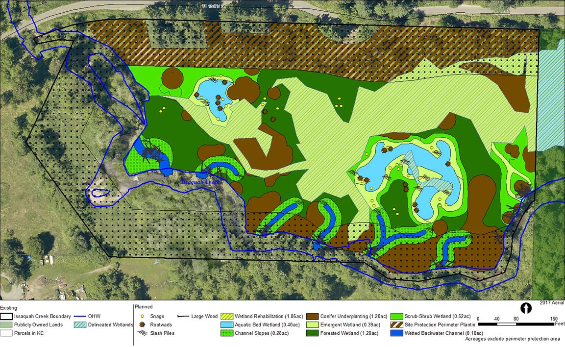
Located in the Sammamish River Service Area, the Middle Issaquah Creek Natural Area consists of 41.3 acres of public land along Issaquah Creek. Within the Middle Issaquah Creek Natural Area, the Issaquah Creek mitigation project will remove existing fill, create wetlands, place large wood and wildlife trees, and restore native vegetation to create a riverine wetland that improves water quality and hydrology, and provides habitat for fish and wildlife.
Background
This project will fulfill in-lieu fee mitigation credit obligations for the Mitigation Reserves Program, which is providing compensatory mitigation for unavoidable wetland and aquatic area impacts associated with development in the Sammamish Service Area. By creating and enhancing wetlands, the project helps to protect and improve water quality, provide habitat, store floodwaters, and maintain water flow during droughts. Restoring these ecosystem services will improve the Middle Issaquah Creek Natural Area, and benefit area residents.
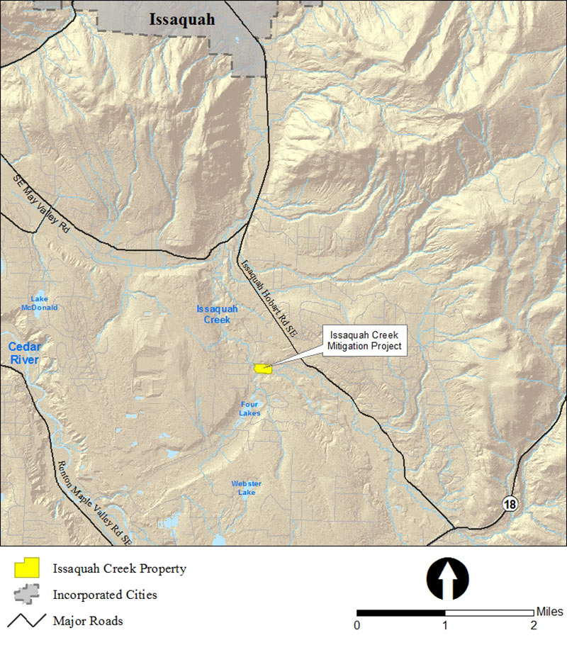
Vicinity maps
Project design
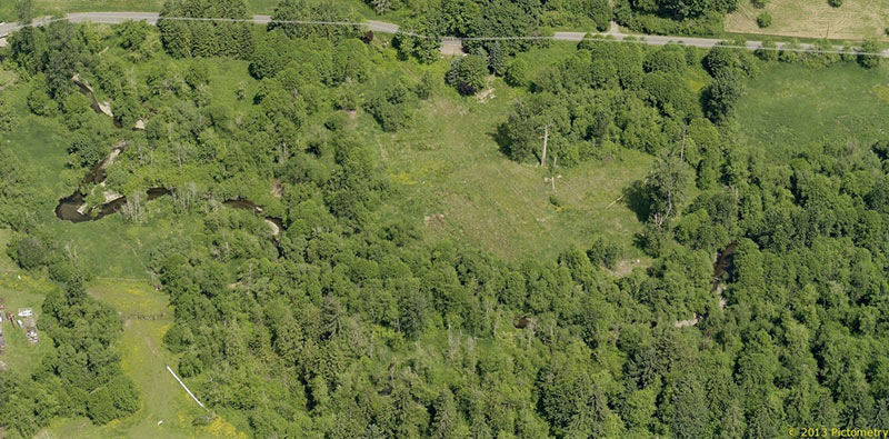
Pre-construction aerial
Project schedule
|
Issaquah Creek Mitigation Project schedule overview |
|
|---|---|
|
Alternatives analysis complete |
July 2017 |
|
30% design complete |
February 2018 |
|
60% design complete |
June 2018 |
|
100% design complete |
October 2018 |
|
Notice to Proceed |
March 2019 |
|
Implementation |
2019 |
|
Monitoring |
2020-2030 |
 Translate